Engineering Trip to Peru
Our Projects
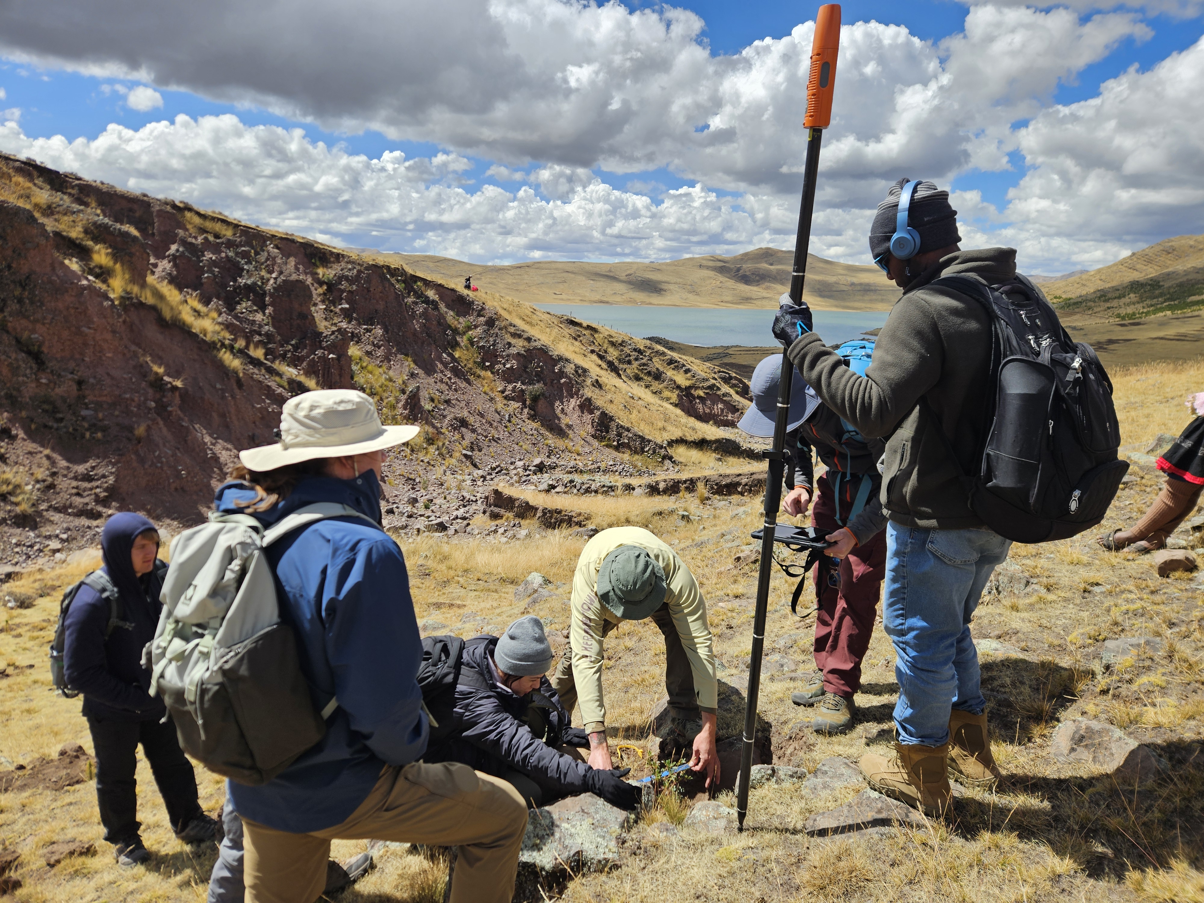
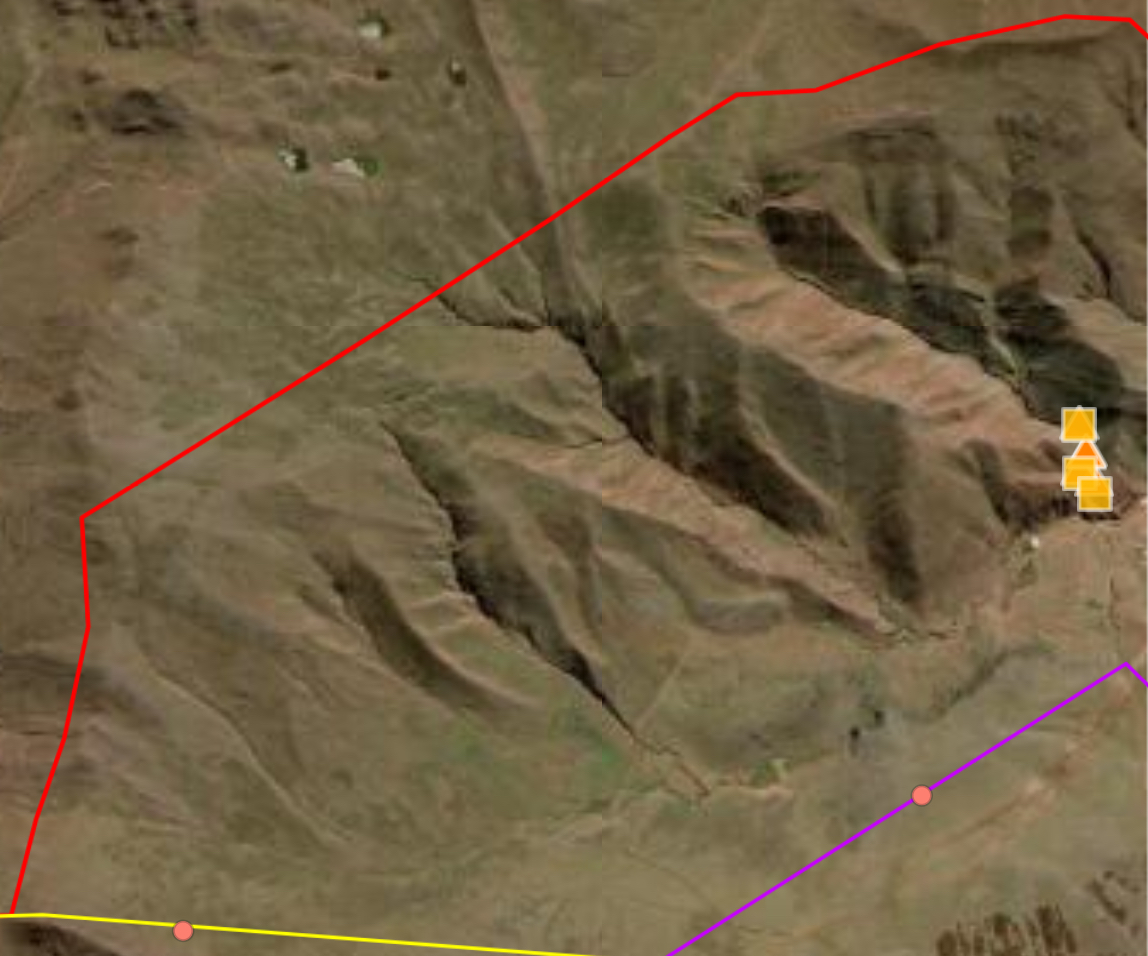
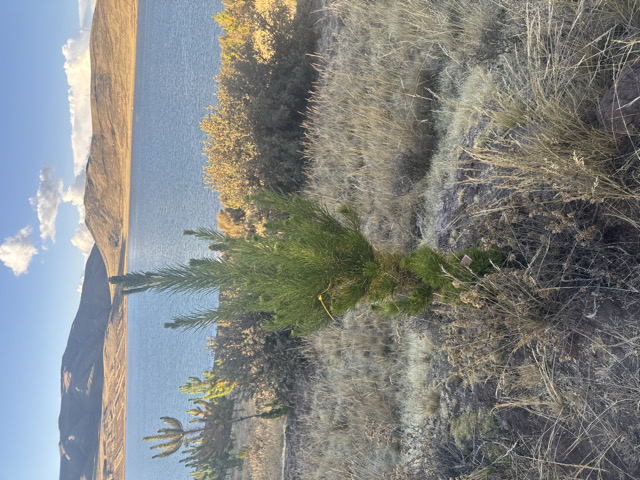
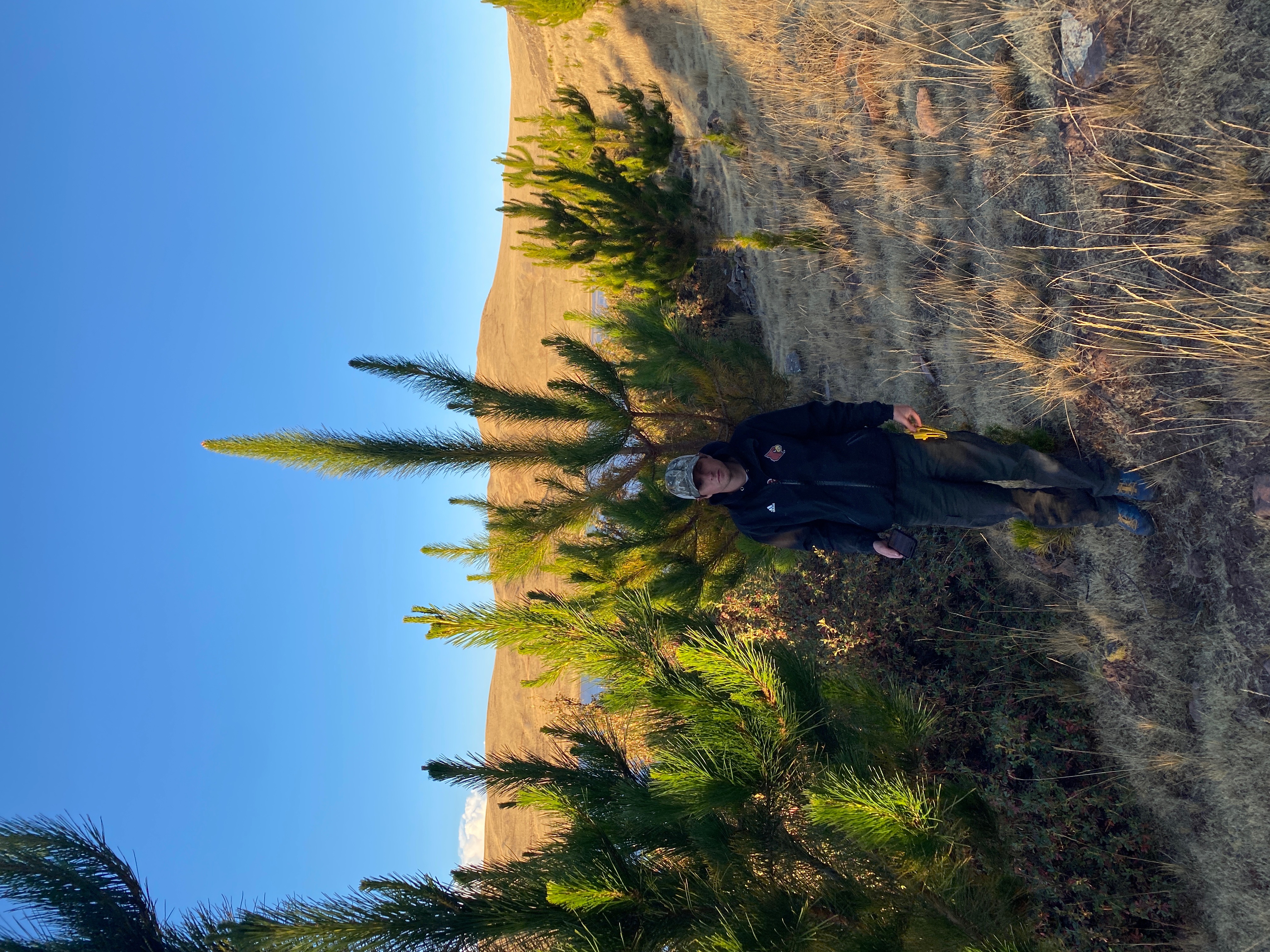
UL each year sends a team down to Calca Peru to assist AASD, Andean Alliance for Sustainable Development, and Campasina Forestal with their aforestation project. In the Andes mountains it rains for around 4-5 months a year, during their rainy season. During that period tons of soil is pulled off of the mountains via errosion. This is causing glaciers to melt, and mountains to shrink. This, hurts the locals who live with the mountain. Our job is assisting with the prevension of errosian and the aforestation project. The three different things we had to do were monitor the trees and level of errosion. We monitored the trees by checking the height, circumference, and breast height of the tree. The errosion was monitored via steaks. These were drilled into the ground in 2024 and then checked in 2025, we found 2 of the 5 steaks and none were still in the ground. The last thing we did was help create new terraces. Eyebrow terraces work to prevent the runoff of soil, they are walls that are built and act as a dam for soil. In addition we also dug holes in front of the walls so that the holes would catch water and prevent run off.
In addition we had to communicate through 3 different languages: English, Spanish, and the native language Quechua, which was spoken on top of the mountain. We had translators but we also had to find different ways of communication and keeping track of what needed to be done. This trip taught a whole lot of communication skills to everyone who went on it.
Section 1
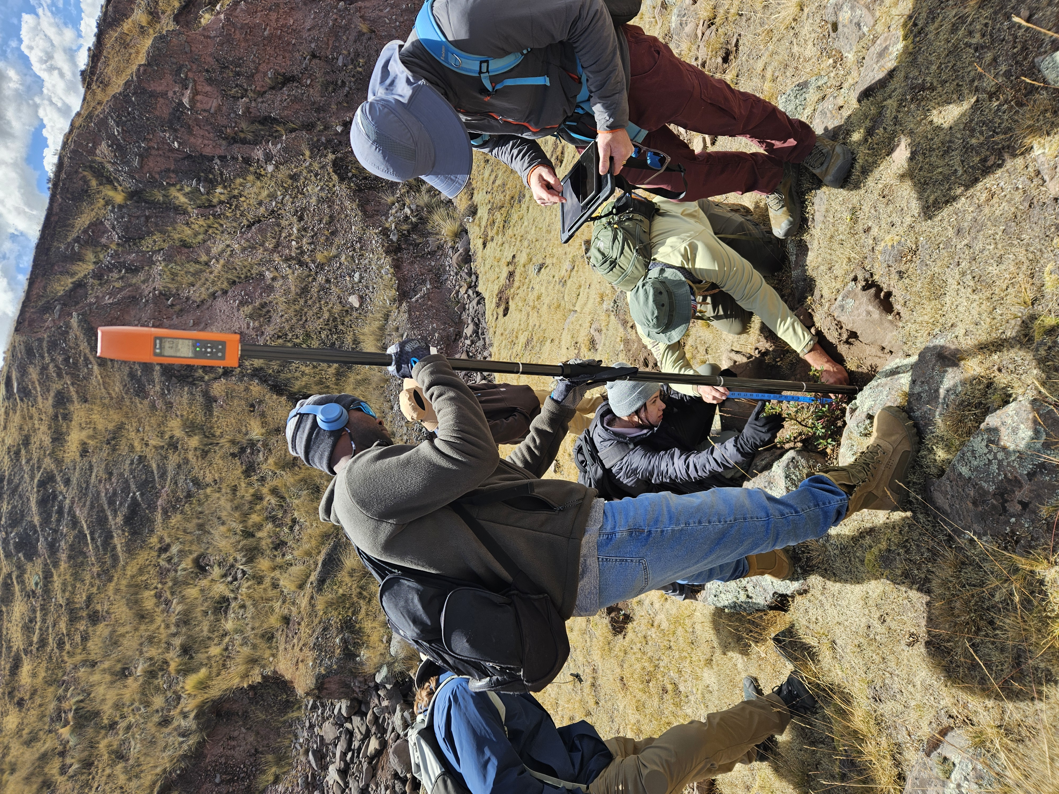
This was how we created new eyebrow terraces. We would use this GPS stick as it would gather near perfect accuracy on altitude and use it to mark a line across a mountain. The line needed to be on the same level as otherwise the wall would crumble if it were to be built.
Section 2
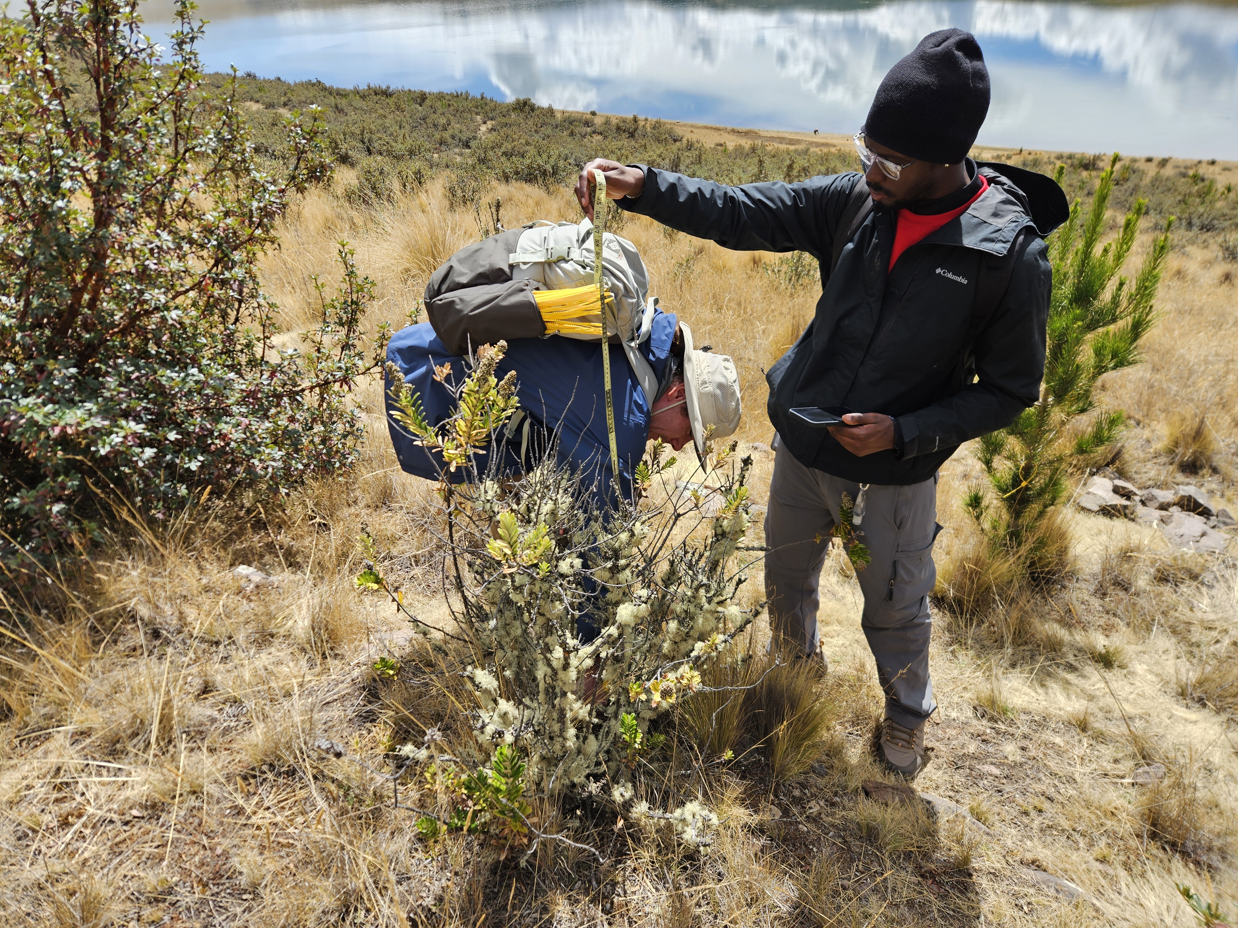
This was how we captured the tree height. We had to get a bit creative as most of the trees were taller than we were and we had to find new ways of figuring out the height, which is what the picture on the right is. We had to use me to figure out how tall the tree was. In addition we would use small yellow tags to mark the trees so that future groups could mark and keep track of data
<
Technical Report
I've also linked a technical report that we created for the trip, I've linked that here in PDF form:
Open PDF